The Sky’s the limit for Murray & Associates
The Sky’s the limit for Murray & Associates
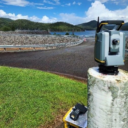
Murray & Associates are kicking off 2020 with an expansion into Aerial Surveying. Surveyors from our Sunshine Coast and Emerald offices completed intensive training late last year to obtain their RePL (Remote Pilot Licence), with further training for our Chief Pilot to obtain the ReOC (Remote Operators Certificate) this year.
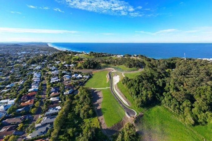
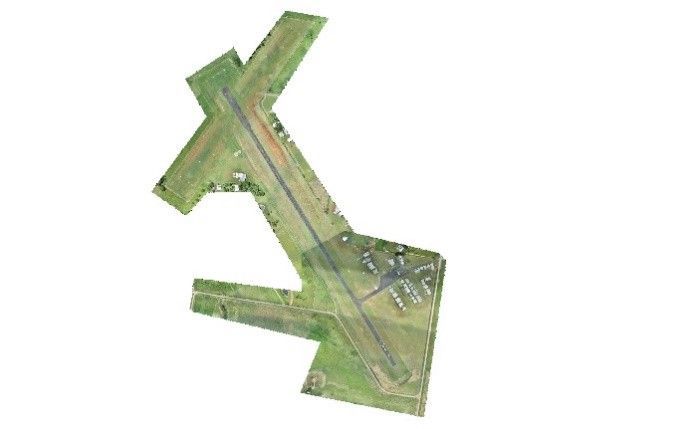
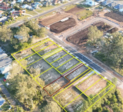
Using a specialised drone, our Surveyors can obtain volumetric data on stockpiles and bulk earthworks for a multitude of projects within mines, agriculture and civil construction. The investment in staff training and new equipment is substantial, but the opportunity to provide new services to our clients is significant and shows our commitment to meeting increasing demands and maintain our position as being at the forefront of the latest technology.
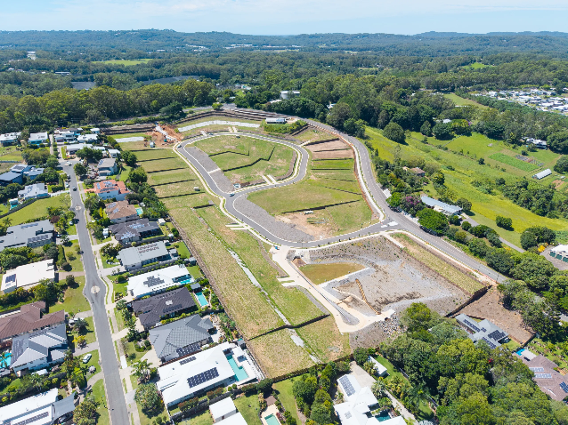
Along with being able to produce volumetric surveys, the drones can also be used for high res imagery of current land parcel constraints to assist with Town Planning applications at the concept stage.
To take advantage of this on your latest project, please get in touch with our team today to discuss your needs.