Drone & Bathymetric Survey
Project scope: Integrated drone and bathymetric surveying for the Sunwater operational planning project, providing a precise spatial model to map above-water and underwater conditions at Fairbairn Dam.
Client: Sunwater Limited
Project Duration: 2025
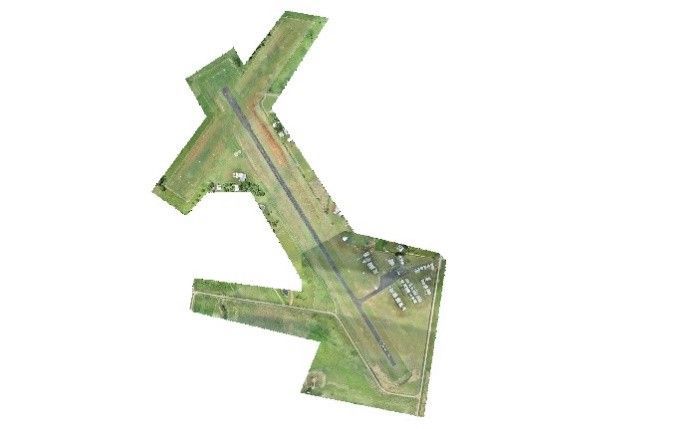
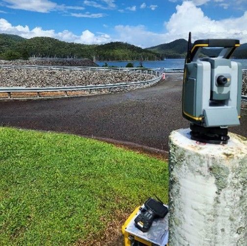
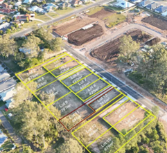
Sunwater Limited engaged Murray & Associates in 2025 to undertake a combined drone and bathymetric survey to support operational planning for the low-level pumping infrastructure at Fairbairn Dam. The project required accurate mapping of both above‑water and underwater conditions to assist with asset management, water‑level assessments and future maintenance planning within one of Central Queensland’s key water storage facilities and the second biggest dam in Queensland.
Our surveying team completed a detailed UAV survey of the site, capturing high‑resolution aerial imagery and terrain data, alongside a bathymetric survey to map underwater profiles and identify depth variations around the pumping infrastructure. The integration of these datasets provided Sunwater with a precise, comprehensive spatial model of the area, enabling informed decision‑making for ongoing operations at Fairbairn Dam.